Topographical Surveys & CAD Drawings
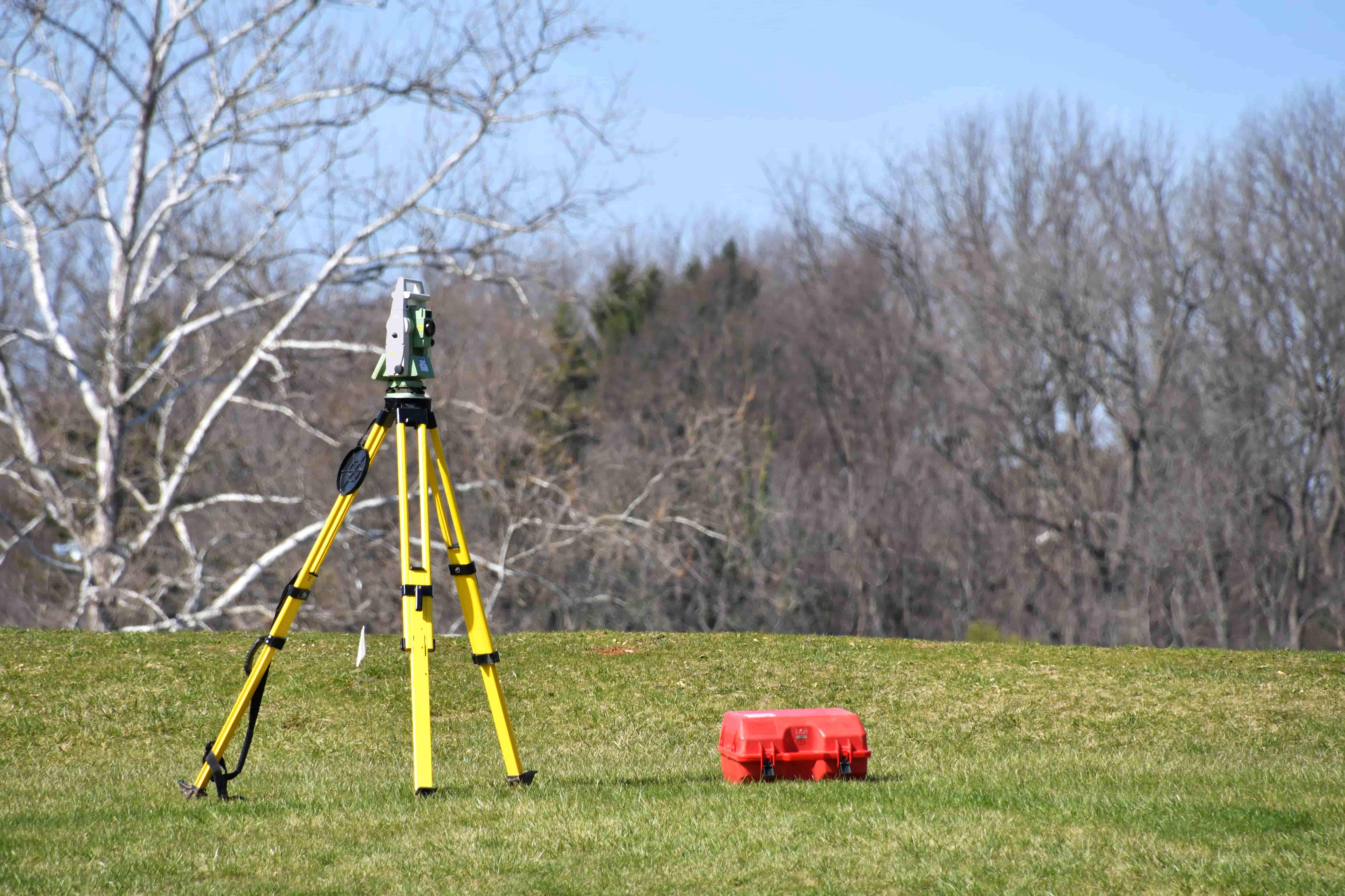
We conduct detailed topographical surveys using GNSS and total station technology to map key surface and subsurface features. These include manholes, gullies, chambers, pipework, invert levels, gradients, and elevations, providing you with accurate spatial data across the entire site.
Deliverables include CAD-ready DWG and PDF files, elevation profiles, clearly labelled drainage infrastructure, and optional integration with inspection data. This ensures your site teams and design partners are working from a precise, up-to-date foundation.
More information
- Civil engineers and designers requiring base drawings.
- Developers preparing sites for planning or construction.
- Local authorities mapping infrastructure or assets.
- Contractors validating drainage locations before breaking ground.
- Accurate site drawings in CAD and PDF formats.
- Complete elevation data and positional references.
- Clearly labelled drainage and manhole features.
- Integration with CCTV or drain mapping (if required).

HC Environmental
Specialists in Site Surveys
Experienced teams using GNSS and total station technology for accurate data.
Integrated Drainage & Topo Surveys
Combined reporting for seamless planning, design and handover.
CAD-Ready Results, Fast
Clear, accurate drawings delivered quickly to keep projects moving.